
Recap : Tropical Storm Laura
An active season has continued in the tropics throughout the month of August. Whether a season is “active” or not depends less on landfalls and more on the number of systems that are tracked throughout, and all coastal interests from the Caribbean to the southeast United States and the Gulf Coast have been aware of increasing activity in the Atlantic over the past several weeks. Love City Strong began monitoring Invest 98L on August 18th, and the next day NHC upgraded and began tracking tropical depression 13 (TD 13). The system was forecast to track directly over the U.S. Virgin Islands as a tropical storm, but took a more westerly course and the center of circulation ended up passing about 200 miles south of St Croix. Like TS Isaias, this was anticipated to be a fairly significant rain event, but St John recorded only about an inch of precipitation throughout the impact window, and the majority of the severe weather moved through during the early morning hours of Saturday, August 21st. No curfew was instituted, likely due to the fact that the Territory was under a COVID-19 related Stay at Home order at the time.
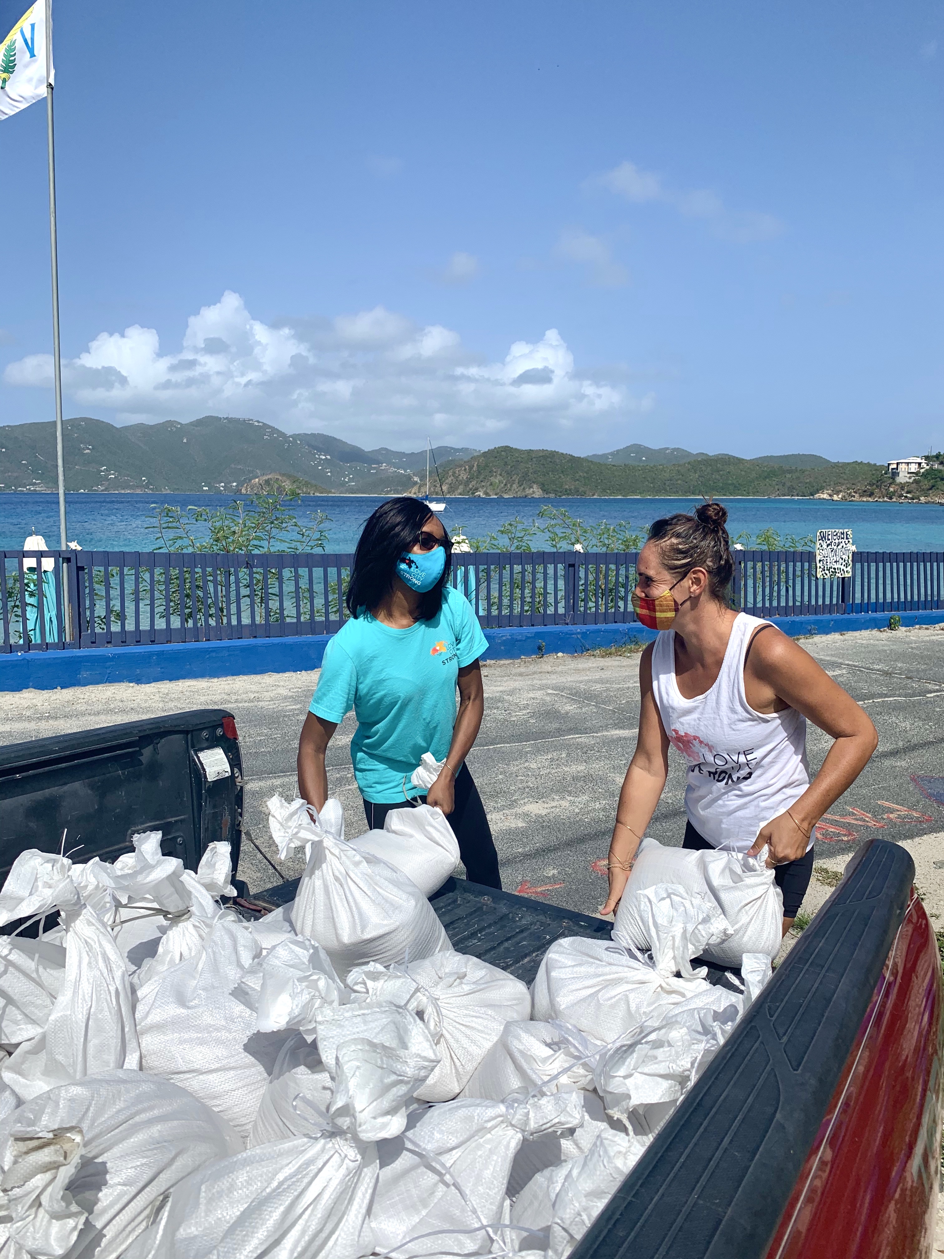
As usual, our team began regular meetings 72 hours prior to the projected Saturday impact. We continued these meetings until the morning of Sunday the 23rd – they were discontinued at that point due to the minimal impact of TS Laura on the Territory. On Monday the 24th, the Go Team proceeded with follow up calls to the High Risk wellness checklist.
Lessons from TS Isaias were implemented in our strategies, including earlier check ins within the organization to ensure personal preparedness at home. It became clear approximately 24 hours prior to the projected impact that TS Laura was going to stay well south of the U.S.V.I., but our team deployed as planned in the interest of continuity and routine practice. We believe our ability to pivot remains critical to a successful, efficient response, whether we’re facing a worse than anticipated impact or what amounts to simply a rainy day. We continue to fine tune the scalability of our programs from event to event, and know that each successfully executed cycle of deployment will further the community’s preparedness for whatever comes next. As we navigate the peak of 2020 hurricane season, we anticipate ever more opportunities to test the efficacy of our programs.